Strategic decision-support tools
Tools to decide, powered by MAELIA.
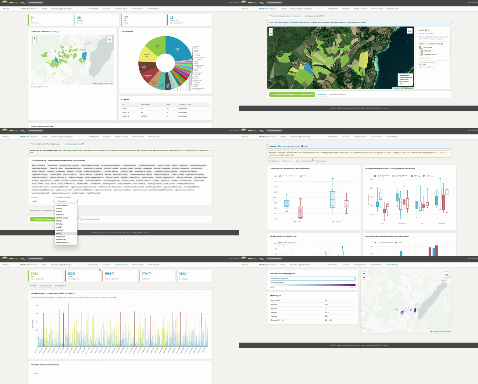
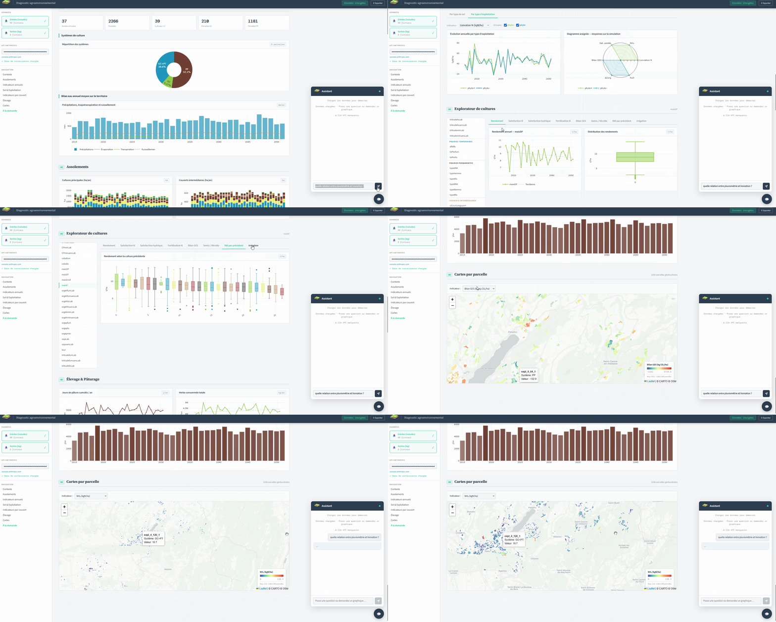
We design interfaces that make modelling accessible: building and running scenarios, comparing pathways, mapping results and producing charts and maps.
Our interfaces
Two interfaces for two decision scales.
What our interfaces enable
From data to decision.
1. Simulate
Build a scenario
Set agroecological levers and run biophysical models calibrated on local data.
2. Compare
Compare pathways
Set several scenarios and their indicators side by side, over the same horizon.
3. Map
Map at field scale
Visualise results across your territory at a glance.
4. Report
Produce deliverables
Generate clear, quantified summaries, charts and maps, ready for consultation and public decision-making.